The resort with great deals
KNOW MORE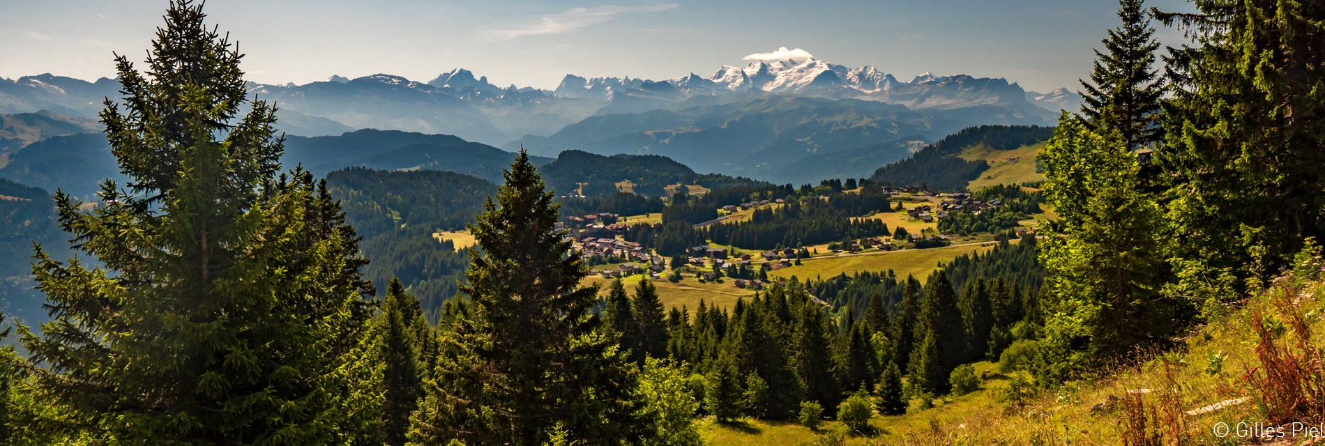
Fermer la réservation
About
About
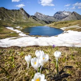
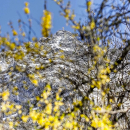
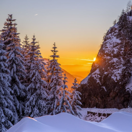
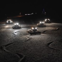
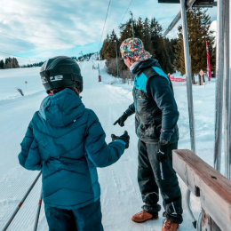
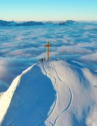
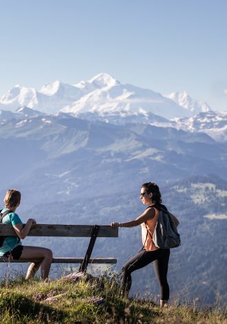
Praz de Lys Sommand
Best of Praz de Lys Sommand…
- A ski resort served by two plateaus at 1500 m altitude.
- Mont-Blanc straight ahead!
- A packed schedule and great deals are right here.
- A mountain of activities to break a sweat without breaking the bank.
- And down below in the valley, two authentic villages to set your luggage down.

Follow the steps down to the bottom, you'll find lots of ideas !
Discover our good deals
Discover the good deals that are suited for you
All

Top 5 : best summer activities
Discover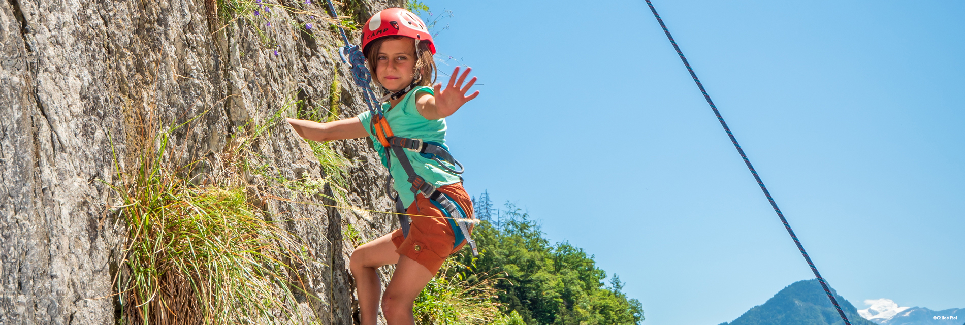
Hiking
Discover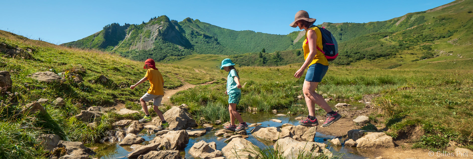
Cycling
Discover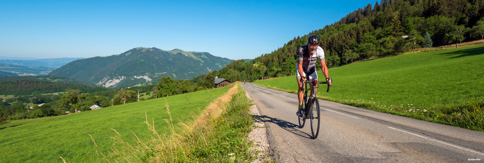
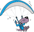
Paragliding
Discover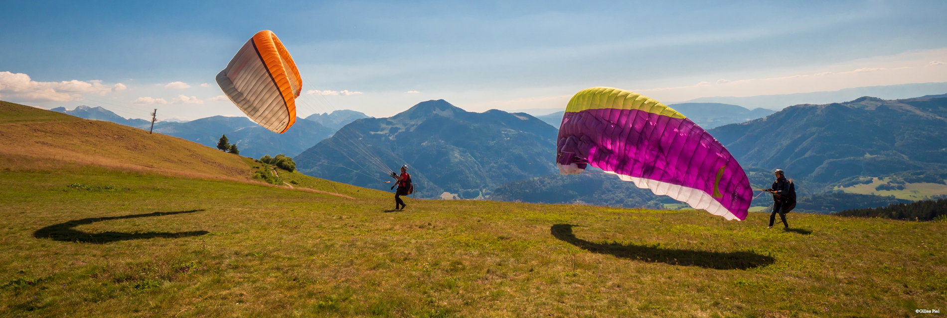
All Activities
Discover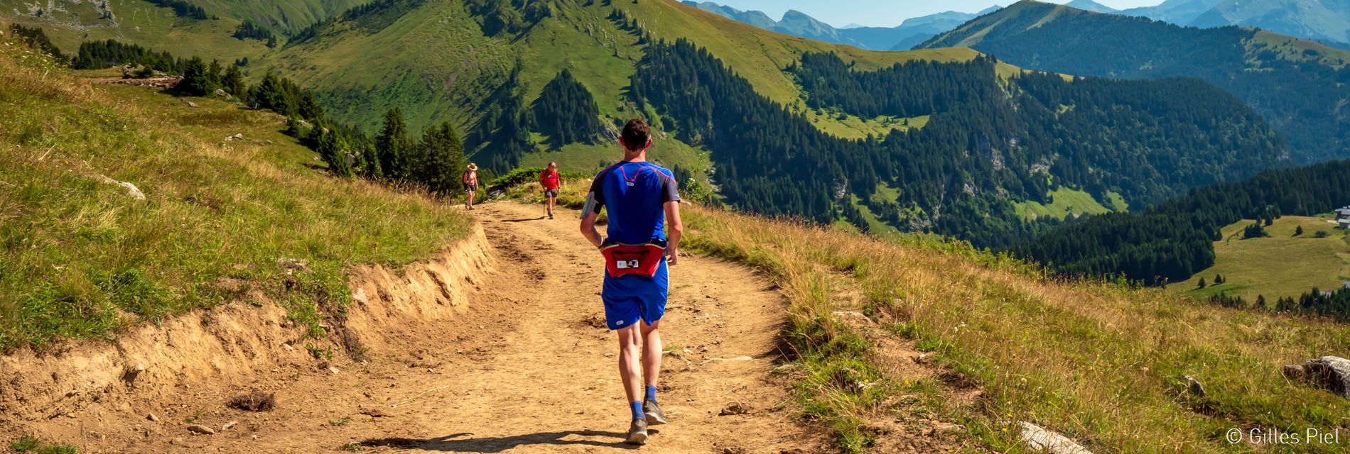
Personalize your visit
Select the criteria corresponding to you, then validate!
 Profile
Select your profile
 adult
adult
 Toddlers
 Less than 15 years old
 Activity
I'm interested in...
 Sports feeling
 Unusual new experience
 Relax
Relax
 Nature Spirit
 Culture, heritage and gastronomy
période
Je choisis mes dates

#MYprazdelyssommand
Follow us on Social Networks !