


Informations techniques
-
Distance 6km
-
Type d'itinéraire ALLER_RETOUR
-
Dénivelé positif 528m
-
Dénivelé négatif 528m
-
Durée journalière 03h00
- Itinéraire balisé : BALISE
- Nature du terrain : Ground
- Nature du terrain : Not suitable for strollers
- Altitude max. : 1946 m
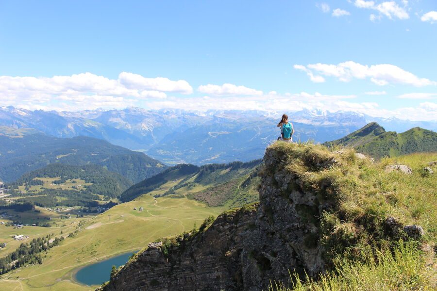
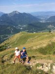
This itinerary links the Praz de Lys and Sommand plateaus with the ridges and their magnificent viewpoints.
Description
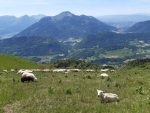
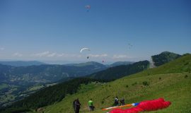
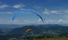
Mid-mountain trail with some superb views over the Praz de Lys and Sommand plateaus and further away, the Chablais, Aravis mountains and Mont-Blanc. It was at the Pertuiset pastures that the very first paragliding flights took place in 1978.
Animaux
Animaux acceptés : Oui
Animaux acceptés avec supplément : Non
Équipements
- Car park
- Orientation board
Services
- Pets welcome
- Unguided group tours
- Coach access
- Motorhomes allowed
- Restaurant
- Unguided individual tours
Environnements
- Mountain location
Tarifs
Free access.
Période d'ouverture
From 15/05 to 15/11.
Subject to favorable snow and weather conditions.
Ouverture complémentaire
- Subject to favorable weather
- Subject to snow conditions
Type de clientèle
- Walkers/hikers
- Level red – hard
Thèmes
- Guidebook with maps/step-by-step : From the hamlet of Roche Pallud, follow the easily visible footpath across the pastures, towards Pertuiset. When you reach the paragliding take-off slope, follow the gravel track on the left that takes you past 3 mountain chalets. From Platière car park, go along the ridge until you get to Pointe Perret (alt. 1,941 m). From Pointe Perret, head to the Pointe du Haut-Fleury. Come back along the same route.
Vous aimerez aussi
Pour plus d'informations sur le traitement des données personnelles, cliquez ici.
- This field is for validation purposes and should be left unchanged.