


![volet et banc village [640x480]](/cache/images/466053_apidae-fiche-header-small.jpg)
Informations techniques
-
Distance 15.9km
-
Type d'itinéraire BOUCLE
-
Dénivelé positif 540m
-
Dénivelé négatif 540m
-
Durée journalière 04h00
- Itinéraire balisé : BALISE
- Nature du terrain : Ground
- Nature du terrain : Hard coating (tar, cement, flooring)
- Nature du terrain : Suitable for city strollers
- Altitude max. : 660 m
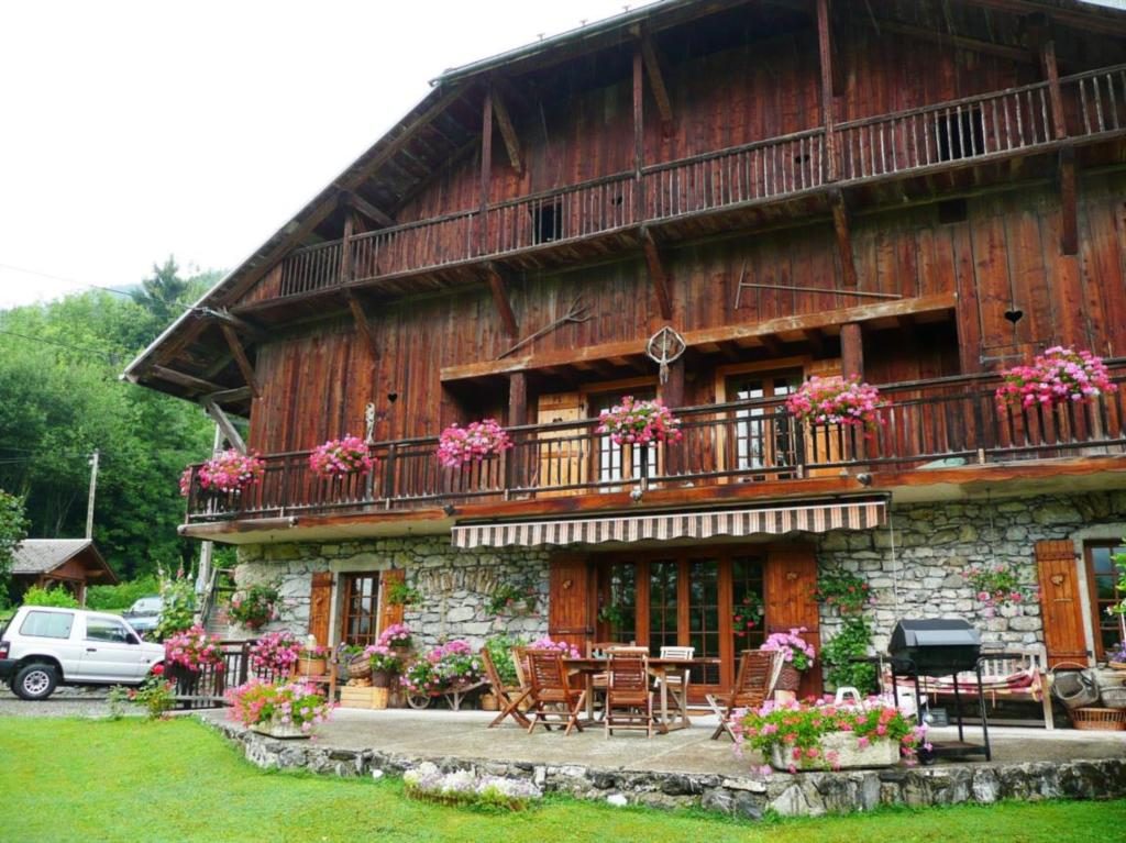
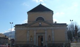
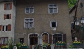
A hike to explore the villages in the south of Giffre Valley, where the traditional Savoyard dwellings have been preserved. On the way back you’ll walk along the Art and Nature Trail alongside the Giffre.
Animaux
Animaux acceptés : Oui
Animaux acceptés avec supplément : Non
Équipements
- Public WC
- Car park
Services
- Pets welcome
Environnements
- Riverside
- Mountain view
- Mountain location
- Village centre
Tarifs
Free access.
Période d'ouverture
All year round.
Subject to favorable snow and weather conditions.
Ouverture complémentaire
- Subject to favorable weather
- Subject to snow conditions
Type de clientèle
- Walkers/hikers
- Level green – easy
Thèmes
- Guidebook with maps/step-by-step : From the car park, go to the marketplace and then the Montée du Char (beginning with steps) towards the village of Avonnex. When you leave the village, cross the D902 and follow a small tarmac road for 100m, then go right on a footpath that leads to the highest point of this trail, the Suet (alt. 920m). From there, go down to the village of Le Mont, and then carry on to Verney. Cross through La Chavonette, then the villages of Verdevant, Etry and Petit Jutteninges. On the way back, cross the D907 and go along the right banks of the Giffre to Taninges.
Vous aimerez aussi
Pour plus d'informations sur le traitement des données personnelles, cliquez ici.
- This field is for validation purposes and should be left unchanged.