


Informations techniques
-
Distance 6.2km
-
Type d'itinéraire ALLER_RETOUR
-
Dénivelé positif 688m
-
Dénivelé négatif 688m
-
Durée journalière 04h05
- Itinéraire balisé : BALISE
- Nature du terrain : Stone
- Nature du terrain : Ground
- Nature du terrain : Not suitable for strollers
- Altitude max. : 1921 m
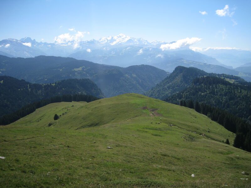
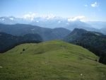
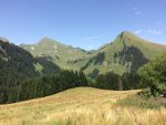
Mid-mountain itinerary through the forest and across pastures with various viewpoints overlooking the surrounding region.
Description
A mountain hiking expedition, a far cry from the lively villages and resorts. Around the Pointe d’Uble, people often see bighorn sheep and chamois. The sections of this itinerary across the pastures offer some great views over the surrounding valleys and mountains.
Animaux
Animaux acceptés : Oui
Animaux acceptés avec supplément : Non
Équipements
- Car park
Multimédia
Services
- Pets welcome
Environnements
- Mountain location
Tarifs
Free access.
Période d'ouverture
From 15/05 to 15/11.
Subject to favorable snow and weather conditions.
Ouverture complémentaire
- Subject to favorable weather
- Subject to snow conditions
Type de clientèle
- Walkers/hikers
- Level bue - Medium
Thèmes
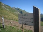
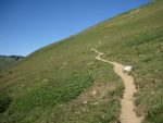
- Guidebook with maps/step-by-step : From the car park, take the footpath on the right that leads up to the Chalets de Rosset. The path then runs alongside the cliff, into the forest to then come out onto a meadow. It then leads up to a flat area in the middle of the pastures. From there, in approximately 1 hour, a footpath on the left leads along the ridge and then up to the summit (1,963 m).
Pour plus d'informations sur le traitement des données personnelles, cliquez ici.
- This field is for validation purposes and should be left unchanged.