


Informations techniques
-
Distance 7.9km
-
Type d'itinéraire ALLER_ITINERANCE
-
Dénivelé positif 890m
-
Dénivelé négatif 10m
-
Durée journalière 03h40
- Itinéraire balisé : NON_DISPONIBLE
- Altitude max. : 1495 m
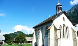
These stones were laid using techniques developed by the Romans. The path was first used in the Middle Ages by the monks from the Chartreuse de Mélan monastery to reach the Praz de Lys pastures 1,000 m further up. For a long time, this was the only access to Praz de Lys.
Animaux
Animaux acceptés : Non
Animaux acceptés avec supplément : Non
Période d'ouverture
From 15/05 to 15/09.
Language spoken
-
 French
Type de clientèle
- For experts / practiced
Thèmes
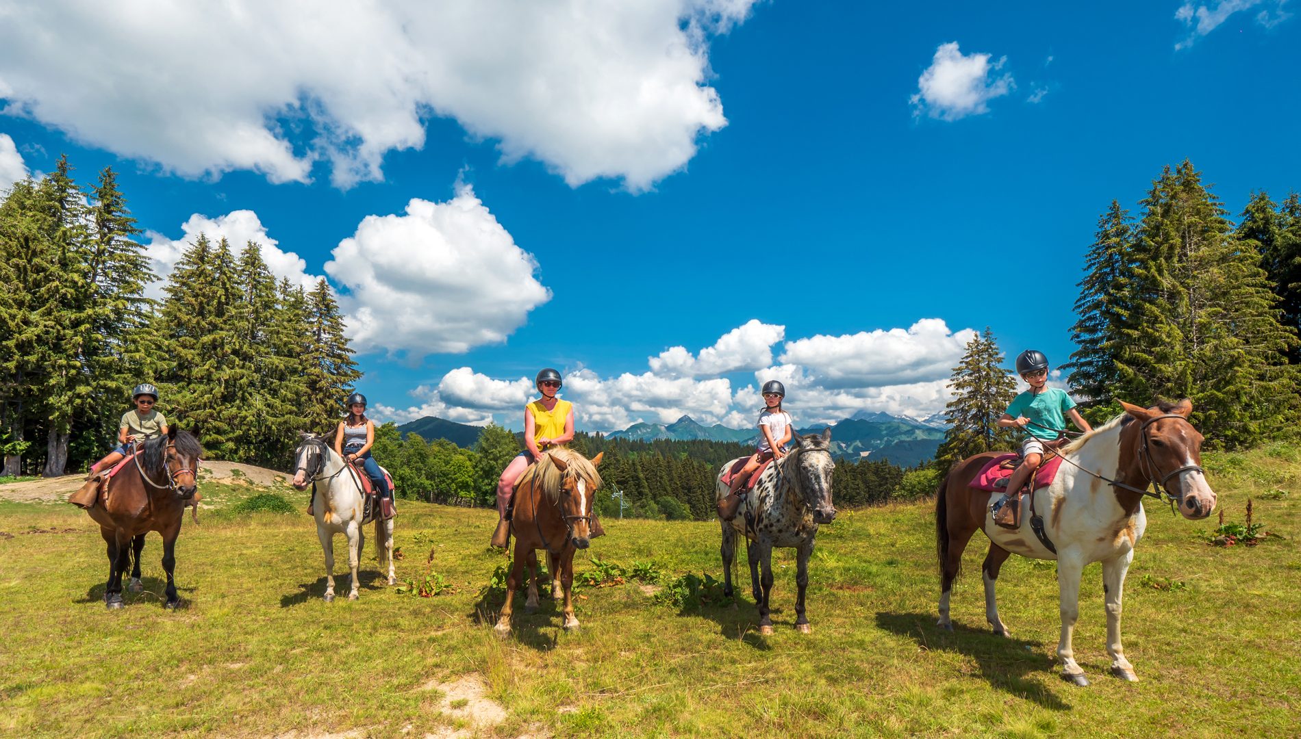
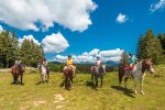
- Guidebook with maps/step-by-step : From the Fermes des Villards, head towards the centre of Taninges, then follow the Montée du Sapeur (“Praz de Lys stone path”) along a small tarmac road and then a footpath. The stone path leads through the forest before reaching Pontet, perched at a height of 1,300 m. The path then continues through the Praz de Lys alpine pastures where you can decide whether to continue up towards Grand Planey and the Pic de Marcelly, or head to the centre of the resort. You can, if you wish, walk up to Praz de Lys and return via the same route. The landscapes along the way are very varied, taking you through villages, forests and pastures. You'll also get to enjoy some magnificent views of the Mont-Blanc and Chablais mountain ranges, from the top of Taninges and Praz de Lys
Vous aimerez aussi
Pour plus d'informations sur le traitement des données personnelles, cliquez ici.
- This field is for validation purposes and should be left unchanged.