


Informations techniques
-
Distance 4.1km
-
Type d'itinéraire BOUCLE
-
Dénivelé positif 280m
-
Dénivelé négatif 280m
-
Durée journalière 02h00
- Itinéraire balisé : BALISE
- Nature du terrain : Stone
- Nature du terrain : Ground
- Nature du terrain : Not suitable for strollers
- Altitude max. : 1650 m
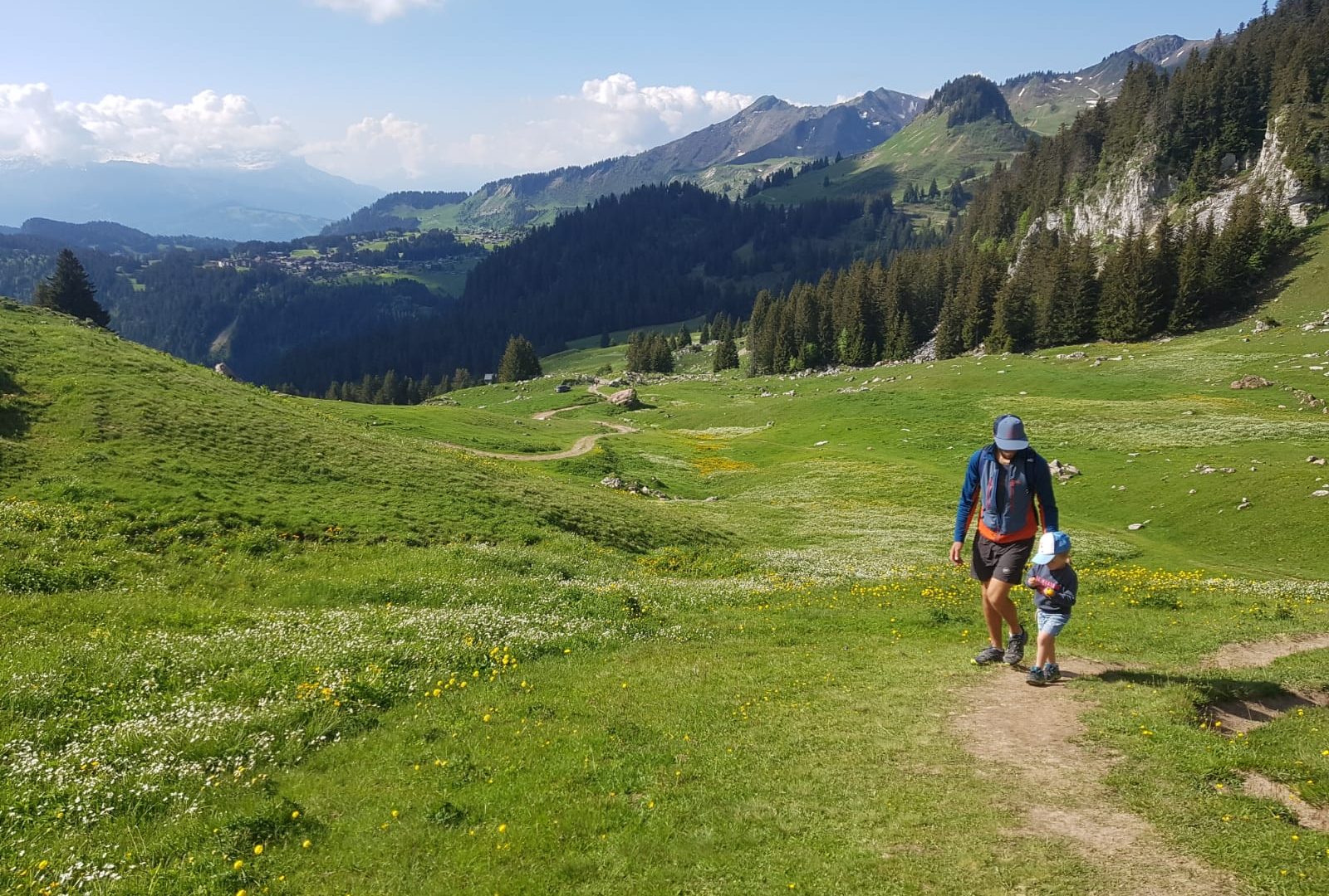
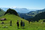
The playful marmots of the Chalet Blanc, a magical place facing the Mont-Blanc mountains. Panoramic view across the French, Swiss and Italian Alps. Dogs are not permitted.
Animaux
Animaux acceptés : Non
Animaux acceptés avec supplément : Non
Équipements
- Car park
Environnements
- Mountain location
- Presence of livestock and guard dogs
Tarifs
Free access.
Période d'ouverture
From 15/05 to 15/11.
Subject to favorable snow and weather conditions.
Ouverture complémentaire
- Subject to favorable weather
- Subject to snow conditions
Type de clientèle
- Walkers/hikers
- Level bue - Medium
Thèmes
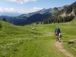
- Guidebook with maps/step-by-step : Take the footpath near the Col de la Ramaz. The path leads up towards the majestic Pointe de Chalune, one of the highest points of the territory. You'll be leaving Chalet Blanc behind you to your right. Then go to the left towards the Col de Vesinaz and take the footpath on the left that leads back to the departure point via a beautiful meadow at the foot of the Pointe de Chavasse. Possible to carry on to the Pointe de Chavasse along a quite challenging track very close to the ridge.
Pour plus d'informations sur le traitement des données personnelles, cliquez ici.
- This field is for validation purposes and should be left unchanged.