 Webcams


 Slopes
 Accomodation
 Access
 Forecast
 Contact
 Skipass


The Pointe d’Uble


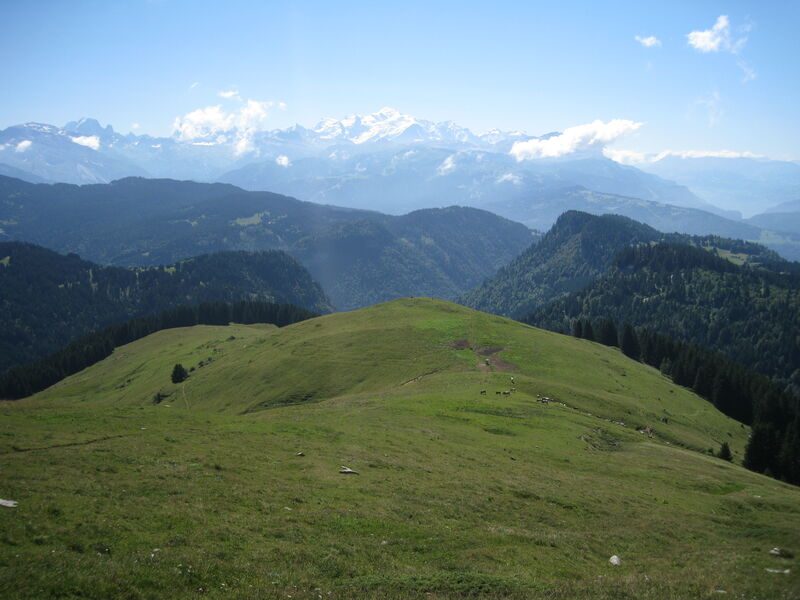
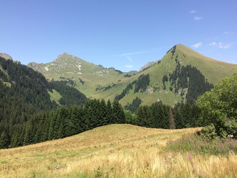


Mid-mountain itinerary through the forest and across pastures with various viewpoints overlooking the surrounding region.
Description
A mountain hiking expedition, a far cry from the lively villages and resorts. Around the Pointe d’Uble, people often see bighorn sheep and chamois. The sections of this itinerary across the pastures offer some great views over the surrounding valleys and mountains.
Equipments
-
 Car park
-
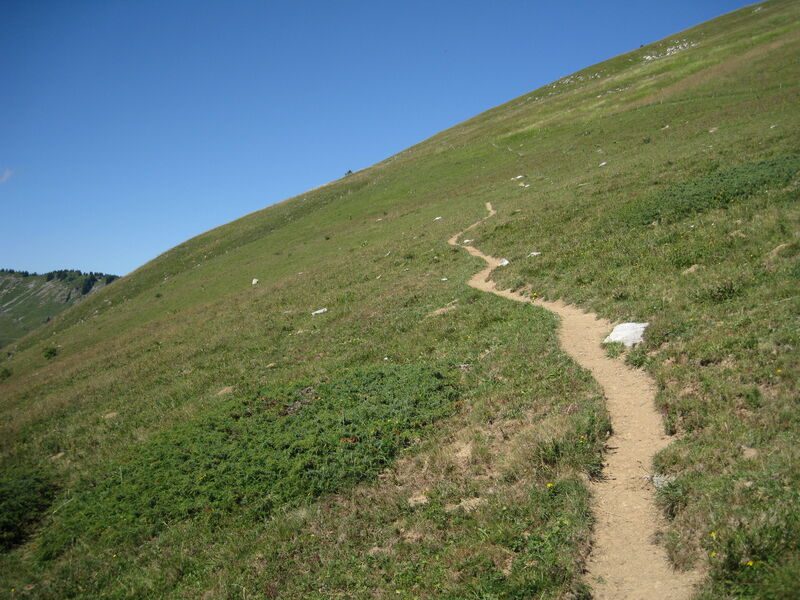
Hiking itinerary
Complément accueil
Adapt your equipment according to your level and the weather. Stay on the marked trails.
Services
-
Pets welcome
Environments
-
 Mountain location
Rates
Free access.
Bons plans
If you're lucky, you may catch a glimpse of mouflons in the Roc d'Enfer large animal reserve on the grassy slopes at the foot of Uble.
Itinerary
Opening period
From 15/05 to 15/11.
Subject to favorable snow and weather conditions.
Additional opening
-
Subject to favorable weather
-
Subject to snow conditions
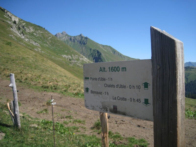
Location
Parking de la Crotte. From Taninges, after Fry and the junction with the Col de l'Encrenaz road, turn right on the 1st bend for 1 km to the small parking lot.
The route is also accessible from the center of Praz de Lys or from the Col de la Ramaz.
Documents

Thèmes
-
Guidebook with maps/step-by-step : From the car park, take the footpath on the right that leads up to the Chalets de Rosset. The path then runs alongside the cliff, into the forest to then come out onto a meadow. It then leads up to a flat area in the middle of the pastures. From there, in approximately 1 hour, a footpath on the left leads along the ridge and then up to the summit (1,963 m).
-
Tips : If you're lucky, you may catch a glimpse of mouflons in the Roc d'Enfer large animal reserve on the grassy slopes at the foot of Uble.
-
Distance 6.2km
-
-
-