 Webcams


 Slopes
 Accomodation
 Access
 Forecast
 Contact
 Skipass


Itinéraire VTT : Boucle d'Anglay

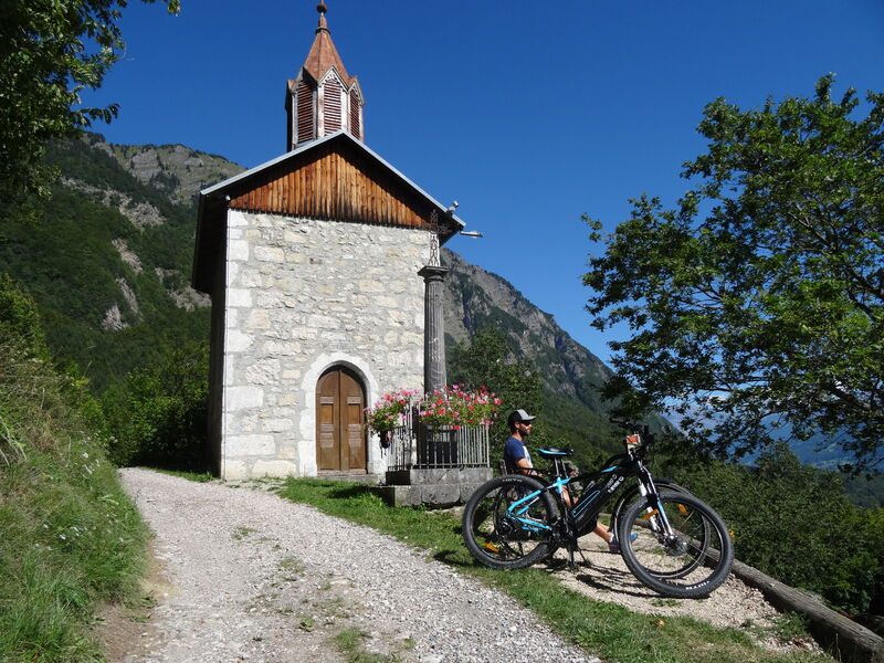


On this trail you will be exploring the majority of the lower section of Mieussy: Saint Grat Chapel, forest, hamlets, Giffre, meadow and much more.
Equipments
-
 Car park
-
Mountain biking itinerary
Environments
-
 Village centre
Rates
Free access.
Itinerary
Opening period
From 15/05 to 15/11.
Subject to favorable snow and weather conditions.
Additional opening
-
Subject to favorable weather
-
Subject to snow conditions
Location
Documents

Thèmes
-
Guidebook with maps/step-by-step : From the Community Hall, go over the Viaduct to reach the main road. Cross this road, then take the small road opposite you. At the end of this straight road, go up the path to the left that leads to Anthon. Carry on for a short while and then go up the footpath to the right. Go back down to the village of Vivier. Go left up to the hamlet of Messy. Cross the village and then take the first small road on your right. At the end of the road, go right to join the D308 and the tarmac road to Anglay. Leave this road in Ranchy and follow signs to La Touvière, then to Anglay. Follow the Chable off-road track that leads to Jourdy. Cross the village and then turn right to go up a very steep footpath. After a very technical descent to Guillard, go left. Go up as far as Saint Grat Chapel. Go back to the road and back down to the 2nd bridge. Turn right for another technical downhill section. Cross La Colonie and go back along the road until the Briffes junction. Just below this junction, go left. Go past some houses on the left and then turn into the forest, at Les Sachets, to the right. Be careful when you arrive at the D907, engage onto the left-hand lane for 300m. Go right before the cross to reach Boche d’en Bas. Carry on to Maillet. Go right. Then go slightly to the right to join the banks of the Giffre. Be careful, the path is quite narrow. Leave the Giffre behind you and go towards Créan, then carry on along the road until you reach Dessy bridge. Go back to the Community Hall via the Viaduct.
-
Distance 18.4km
-
-
-