Rando'bus les Balcons de Sixt 11A
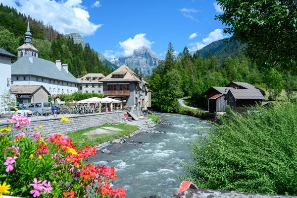
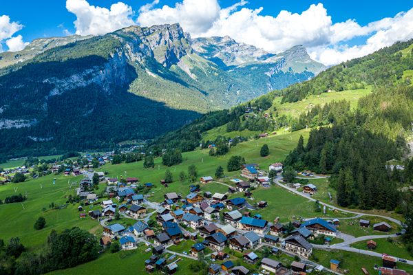
Rando'bus is an original proposal for hiking in the Montagnes du Giffre thanks to the summer shuttle service. Use the destination's mobility network to hike for longer, without having to make the round trip.
Equipments
-
Play area
-
Picnic area
-
Public WC
-
Parking nearby
-
Hiking itinerary
-
Charging stations for electric vehicles
Complément accueil
Part of the route lies within the Sixt-Fer-à-Cheval / Passy Nature Reserve, and is therefore subject to regulations designed to protect natural environments, landscapes and species. Find out more before you go.
Environments
-
Lake view
-
Mountain view
-
Close to a public transportation
-
Bus stop < 500 m
-
In a nature reserve
-
Presence of livestock and guard dogs
-
Waterfall view
Rates
Adult: 2 €
Child: 2 €.
Payment methods
-
Check
-
Cash
Itinerary
Opening period
From 06/07 to 01/09.
Location
Thèmes
-
Guidebook with maps/step-by-step : Shuttle departure - Sixt-Fer-à-Cheval Bus station
Departure Cirque du Fer-à-Cheval
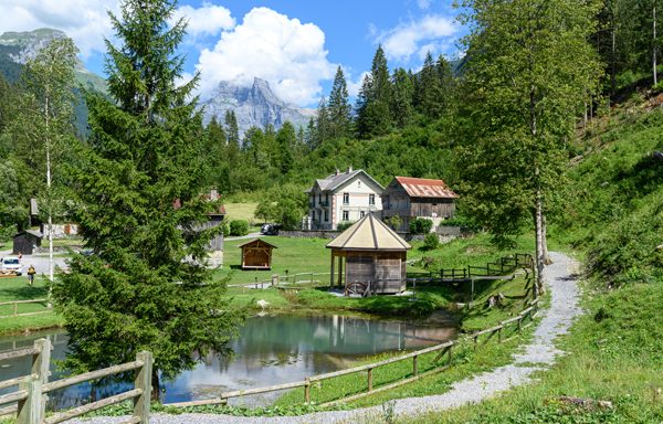
Follow the signs for Camping du Pelly, then continue towards Penté Rocher to reach Praz de Commune, where you can admire some pretty traditional chalets.
Continue through the Commune mountain pasture towards Les Vagnys.
Head up towards Nant Sec, then down the zigzagging path towards Feulatière.
Reach the hamlet of Salvagny.
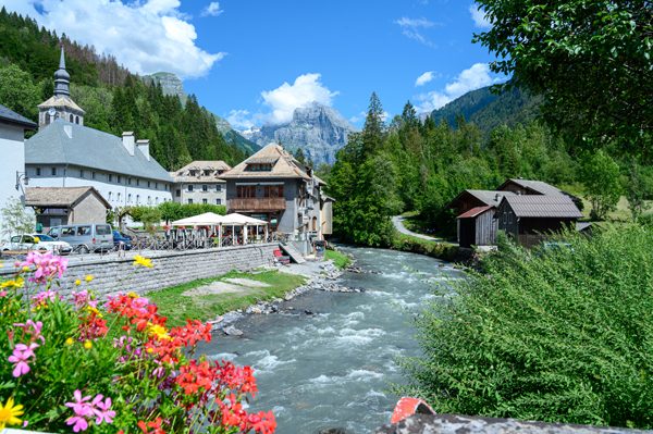
Follow the departmental road to the main town of Sixt-Fer-à-Cheval, where you can admire the 12th-century Abbey, among other buildings.
Arrival Sixt-Fer-à-Cheval bus station - shuttle bus return
Part of the route lies within the Sixt-Fer-à-Cheval / Passy Nature Reserve, and is therefore subject to regulations designed to protect natural environments, landscapes and species. Find out more before you go.


