Hiking : Pic du Marcelly

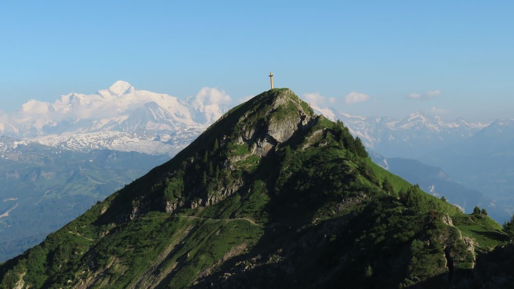
A hike between lake and breath-taking mountain surroundings to reach the Marcelly summit, at 2002m high. At the top, a magnificent panoramic view of the Alps.
Description
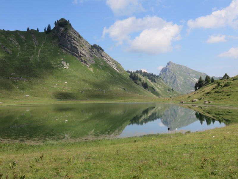
In the heart of the resort of Praz de Lys, the route overlooks the Vallée du Giffre and the village of Taninges. The trail quickly takes you to an exceptional natural site: Lac de Roy.
This natural lake of glacial origin, nestled in the foothills of the Pointe du Haut Fleury, is a magnificent place to discover. As you contemplate the many surrounding peaks, you'll travel through an alpine landscape with Mont Blanc in the background.
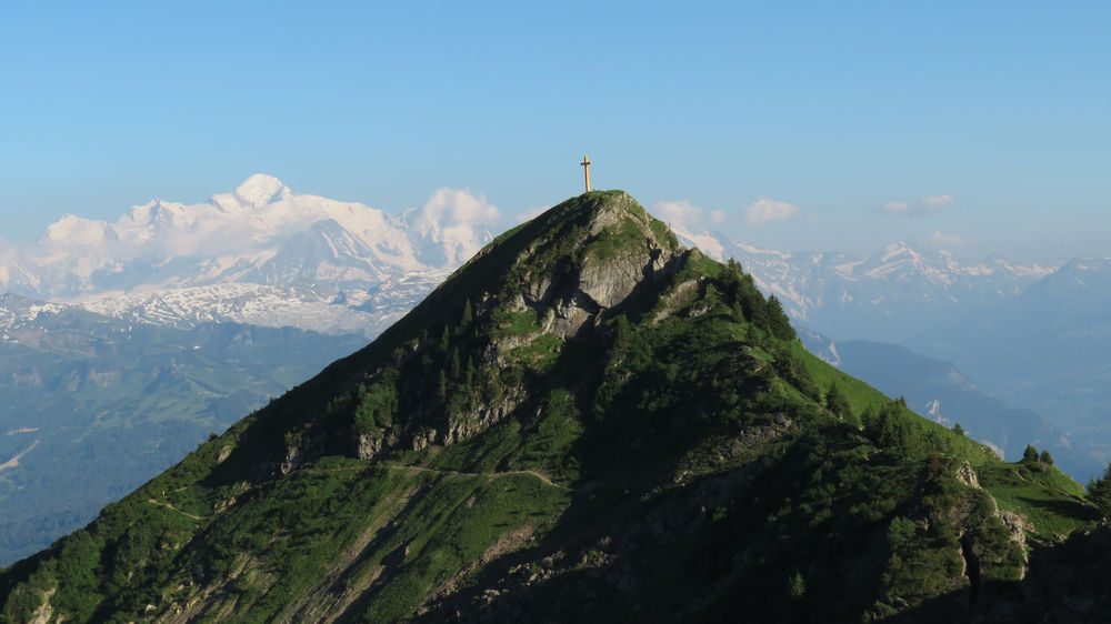
If this short section is sufficient in itself for its beauty, the more athletic can reach the Pic de Marcelly via the pretty Frêtes de Penailles ridge path.
Although difficult, access to the Croix du Marcelly is well worth the effort. Indeed, once you've reached the Pic, the highest point of the walk, the 360° view is breathtaking.
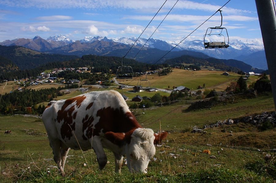
The return journey to Lac de Roy takes you through the wild Combe de Gron and its mountain pastures. You can then return to your starting point along the same path you took earlier.
Equipments
-
Car park
-
Hiking itinerary
Complément accueil
Whatever your hike, remember to pack cereal bars, plenty of water, sunglasses, sunscreen, a small first-aid kit, and clothing appropriate to the season and weather forecast.
Services
-
Pets welcome
Environments
-
Waterside
-
Lakeside or by stretch of water
-
Lake view
-
Mountain view
-
Mountain location
-
Panoramic view
Rates
Free access.
Itinerary
Opening period
From 15/06 to 01/11.
Subject to favorable snow and weather conditions.
Additional opening
-
Subject to favorable weather
-
Subject to snow conditions
Tourisme adapté
-
Not accessible in a wheelchair
Location
Access (by car): From Cluses, join Taninges (D902), then Praz de Lys. In Praz de Lys, stay on the RD308 until you reach the resort exit. The Molliettes parking lot is on your left.
Documents
Thèmes
-
Guidebook with maps/step-by-step : 1/ From "Le Praz de Lys (Les Moliettes)", head towards "Pic du Marcelly par Lac du Roy", passing "Réservoir du Haut-Fleury" and "Tiers de Châtillon".
2/ From Lac du Roy, continue climbing towards "Pic du Marcelly", passing "Roy", "Sous Pointe de Perret", "Frête de Pénaille (north and south)", "Sous la Pointe de la Couennasse" and "Frêtes de Gron" to reach "Pas de l'Âne".
3/ From the "Pas de l'Âne", climb up to the Pic de Marcelly via "Sous le Pic".
4/ Return to the Pic de Marcelly by the same route, then at "Frêtes de Gron" follow "Le Praz de Lys (Les Molliettes) par Gron".
5/ From here, follow the signs for "Le Praz de Lys (Les Moliettes)" to return to the parking lot.


