




Hiking Trail: Le Praz de Lys via Les Pavés

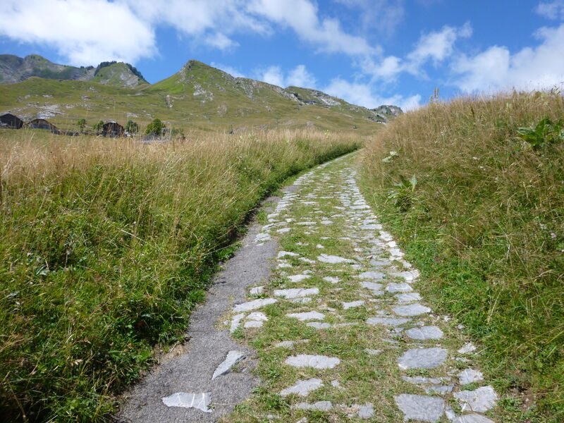
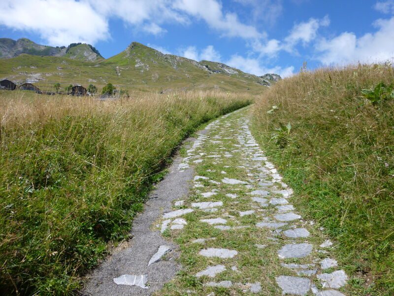


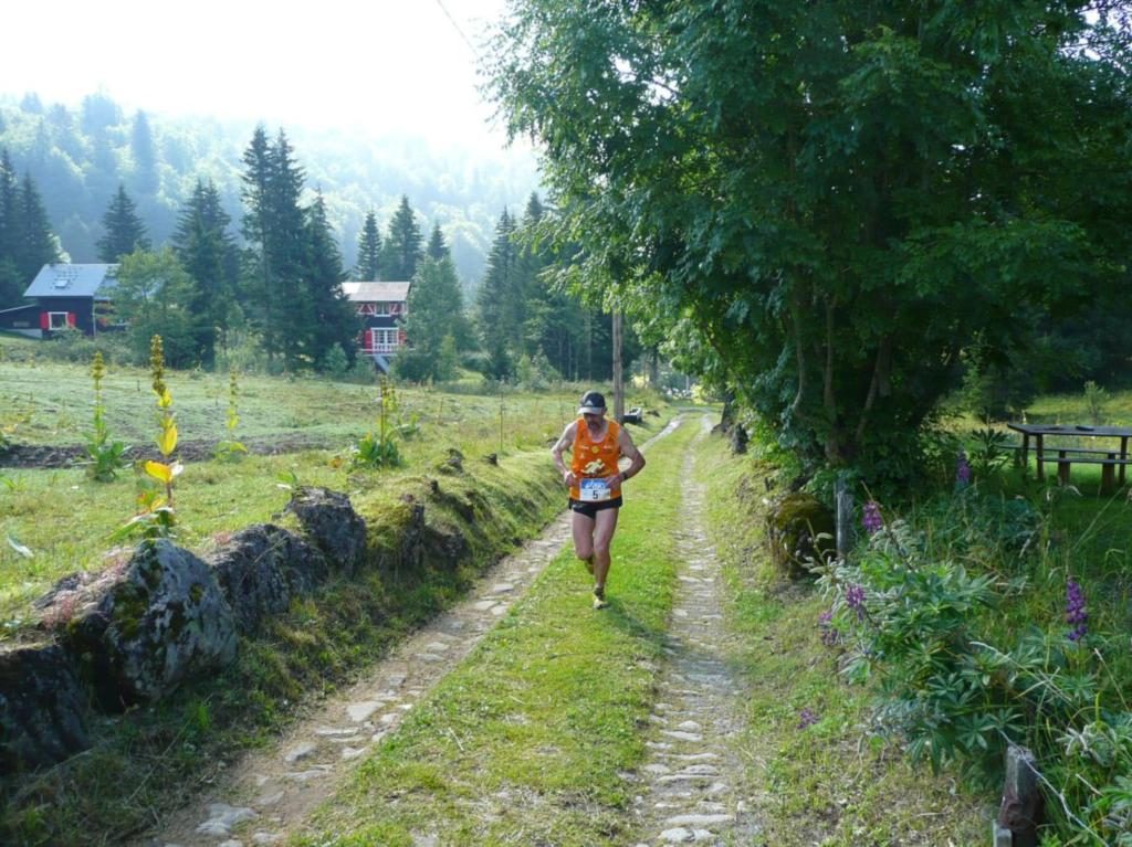
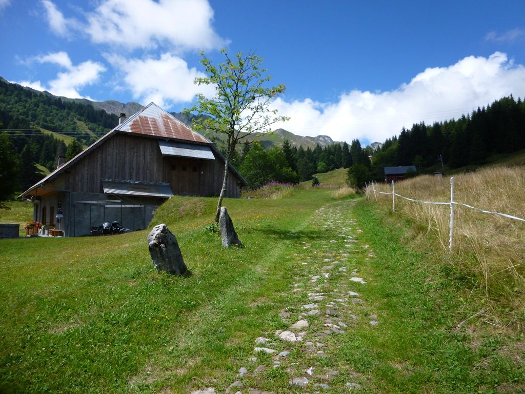
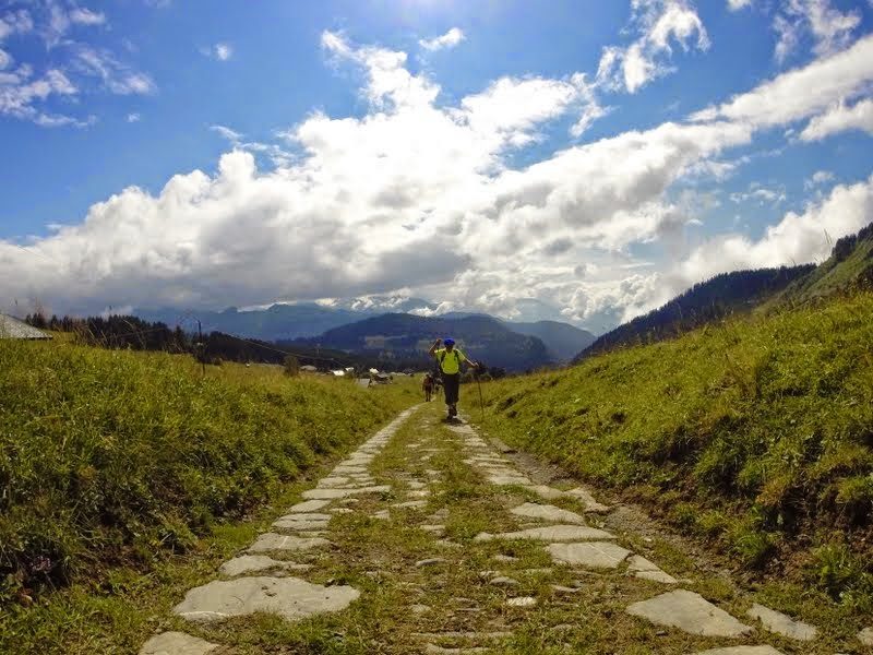
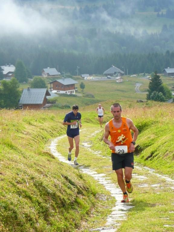


Following in the footsteps of the old alpine herders, this hike takes you from Taninges to the village of Praz de Lys. As you follow the cobblestone path dating back to the Middle Ages, discover the pastoral heritage of Haute-Savoie amid beautiful mountain scenery.
Description
Paved using Roman techniques, this road was built in the Middle Ages by the monks of the Chartreuse de Mélan to provide access to the Praz de Lys mountain pastures, located nearly 1,000 meters higher.
For a long time, it was the only access route to Praz de Lys, and today it bears witness to the harshness of life in the mountain pastures for the Jacquemards (the name given to the inhabitants of Taninges) of yesteryear.
Along this historic route starting from the old village, you’ll have the opportunity to admire a wide variety of landscapes, including villages, forests, and alpine pastures, as well as magnificent views from the heights of Taninges and from Praz de Lys of the Mont Blanc range and the Chablais massif.
Be sure to take the time to stroll among the chalets in the village of Praz de Lys before heading back to Taninges.
Equipments
-
 Public WC
-
Car park
-
Hiking itinerary
More information
Choose gear that's appropriate for your skill level and the weather. Stay on the marked trails.
Services
-
Pets welcome
Environments
-
 Mountain view
-
Mountain location
Rates
Free access.
Itinerary
Opening period
From 15/05 to 15/11 daily.
Check with the Tourist Office in advance to find out the current access conditions.
Subject to favorable snow and weather conditions.
Additional opening
-
Subject to favorable weather
-
Subject to snow conditions
Location
From Cluses, head to Taninges (D902). Once you arrive in Taninges, park in the Place du Château parking lot, located on the right bank of the Foron River, across from the old town.

Themes
-
Guidebook with maps/step-by-step : 1/ Starting at the "Taninges (Vieux Pont)" signpost, head toward "Le Praz de Lys (Les Moliettes)." Continue in this direction; you will pass through “Taninges (Vieux Pont),” “Hauteville,” “Sur le Paquis,” “Les Chaux,” “Chenally,” “Le Pontet,” “Canevet,” and “Bresy.”
2/ Once you reach the Moliettes parking lot, return via the same route you took on the way there. To do so, continue to follow signs for “Taninges.”
3/ In “Hauteville,” head toward “Taninges (Vieux Pont)” to return to your starting point.
-
Distance 11km
-
-
-


- This field is for validation purposes and should be left unchanged.
Pour plus d'informations sur le traitement des données personnelles, cliquez ici.