


Tour of Les Coux
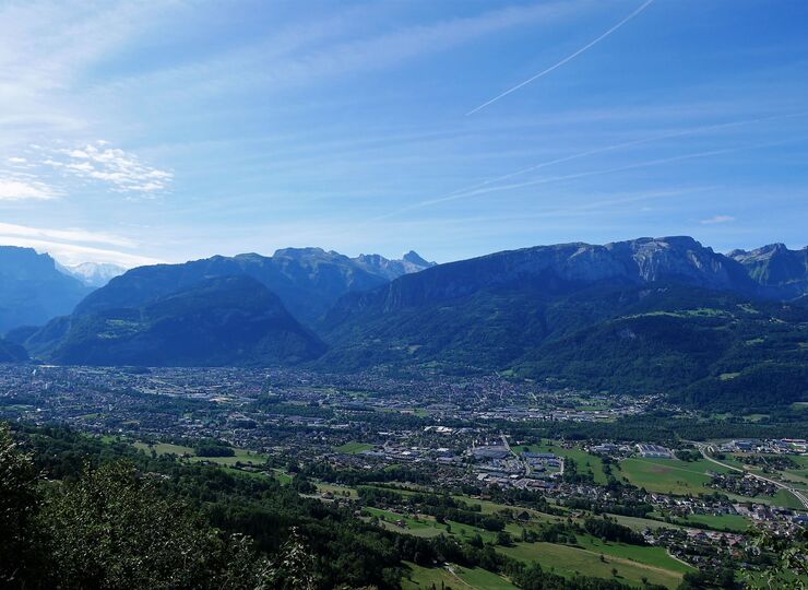
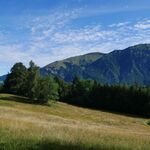


A lovely loop between two valleys with beautiful views of Marcelly Peak, followed by the Bargy Range and the Aravis Mountains.
Description
From the parking lot at the Mieussy community hall, take the Cen Viaduct to the Devil’s Bridge. Follow the paved road via Route d’Ivoray to cross through Dessy.
The trail leaves the road on the outskirts of Dessy, at the signpost marked “Les Touviéres.” The route alternates between trail and road until the next village.
After Ivoray, head toward Le Charjou, continuing straight on the main road.
Once you reach Le Charjou, continue on the dirt road to the right. The directional signs are further ahead.
Pass through the hamlet of Les Seujets and take the forest trail that climbs between the houses, going straight ahead as you leave the road. After a lovely climb through the forest, you’ll pass by the unique bed-and-breakfast “Sur le Coux.”
Turn right, leaving Mont Orchez on your left.
Follow the Coux de Marignier on your right, then head toward Ivoray through the Gervaz woods, passing through La Biolle.
Back in Ivoray, return to the parking lot via the same route or via Bieully and the Devil’s Bridge, turning left at Les Touvières.
Equipments
-
 Hiking itinerary
More information
Intermediate
Rates
Free of charge.
Itinerary
Location
Starting point: Community Hall, Mieussy.
End point: Community Hall, Mieussy.
Recommended parking: Community Hall, Mieussy.
Montagne du Giffre summer shuttle: https://www.agilbus.fr/jacquet
Documents

-
Distance 12.23km
-
-
-