




Hiking Trail: La Pointe de Chalune
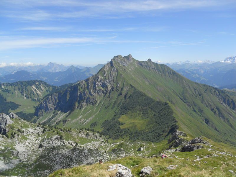
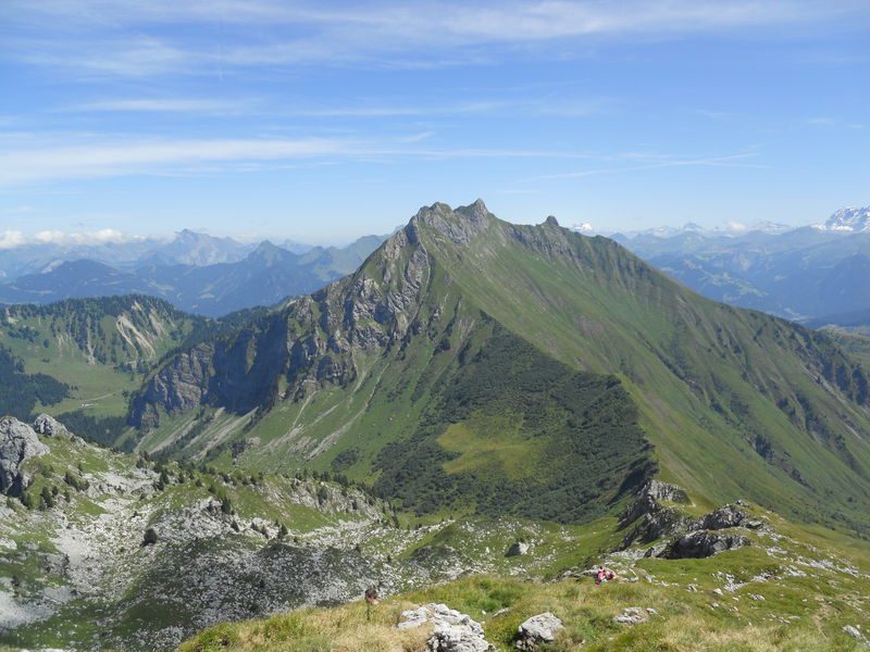
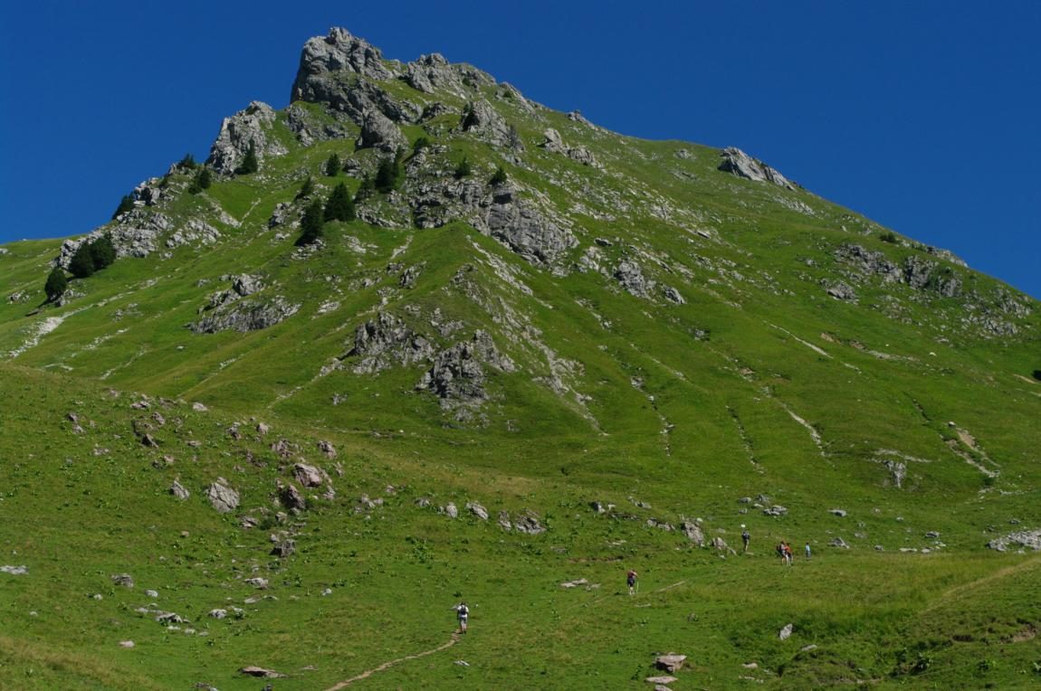
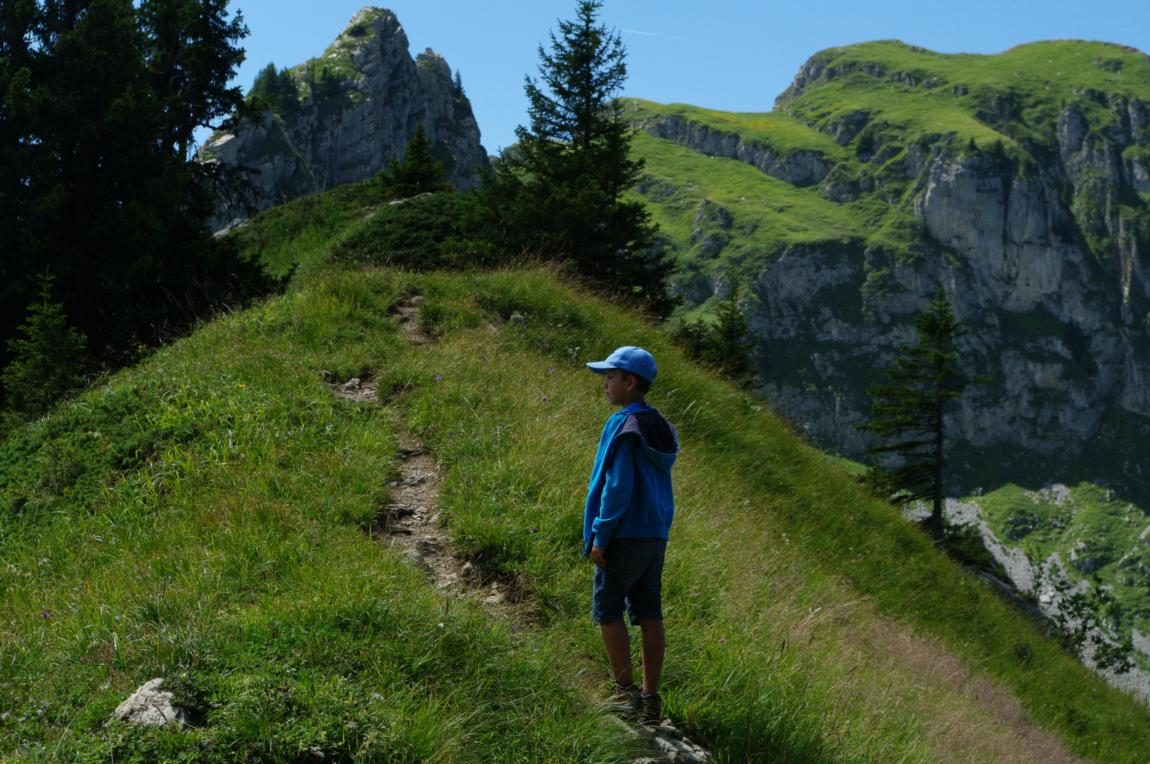
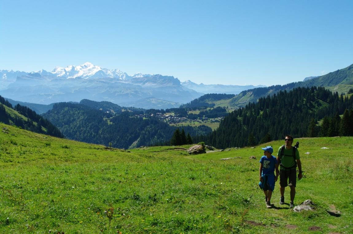
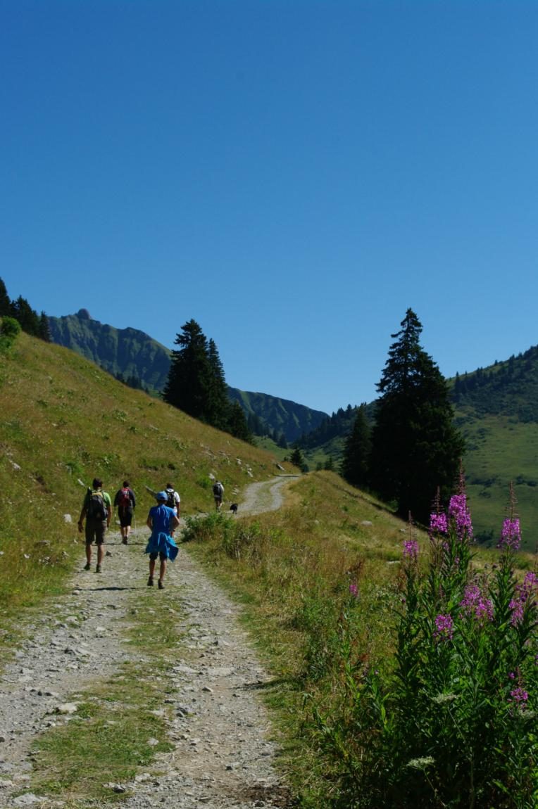


An easy climb, and at the top, a breathtaking view, especially of the Roc d’Enfer and Mont Blanc.
Description
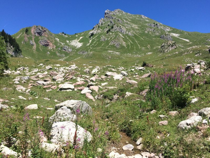
This rugged hike through alpine pastures has the advantage of being accessible to a wide range of hikers and offers a splendid view of the surrounding mountains.
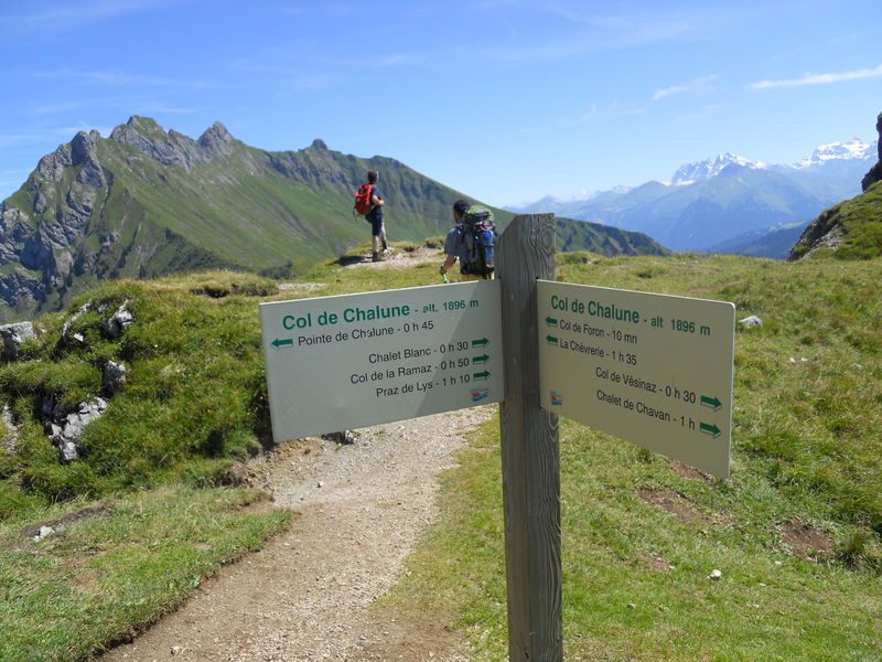
From the Col de Chalune, the view of the imposing Roc d’Enfer and Mont Blanc is breathtaking.
Along this route, you’ll encounter cows and sheep, as well as remarkable alpine flora.
Equipments
-
 Car park
-
Hiking itinerary
More information
Choose gear that's appropriate for your skill level and the weather. Stay on the marked trails.
Environments
-
 Mountain location
-
Presence of livestock and guard dogs
Rates
Free entry but transport fee applies.
Good deals
You can descend via the Golet Rouge and the Col de Vesinaz, then climb the Pointe de Chavasse and return to Pierre Rouge.
Itinerary
Opening period
From 15/05 to 15/11 daily.
Subject to favorable snow and weather conditions.
Additional opening
-
Subject to favorable weather
-
Subject to snow conditions

Themes
-
Tips : You can descend via the Golet Rouge and the Col de Vesinaz, then climb the Pointe de Chavasse and return to Pierre Rouge.
-
Guidebook with maps/step-by-step : From the parking lot, take the vehicle-accessible path toward Chalet Blanc, in the heart of the alpine pastures.
1/ After 1.3 km, turn left onto a small trail leading to the base of Pointe de Chalune.
2/ Then join the trail along the mountainside heading to the right toward Col de Chalune.
2/ The trail to the left leads to Pointe de Chavasse.
3/ From the Col de Chalune, a 30- to 45-minute walk along a steep trail will take you to the summit, which rises to 2,116 m.
-
Distance 6.7km
-
-
-


- This field is for validation purposes and should be left unchanged.
Pour plus d'informations sur le traitement des données personnelles, cliquez ici.