


Hiking Trail: Le Haut Fleury from Roche-Pallud

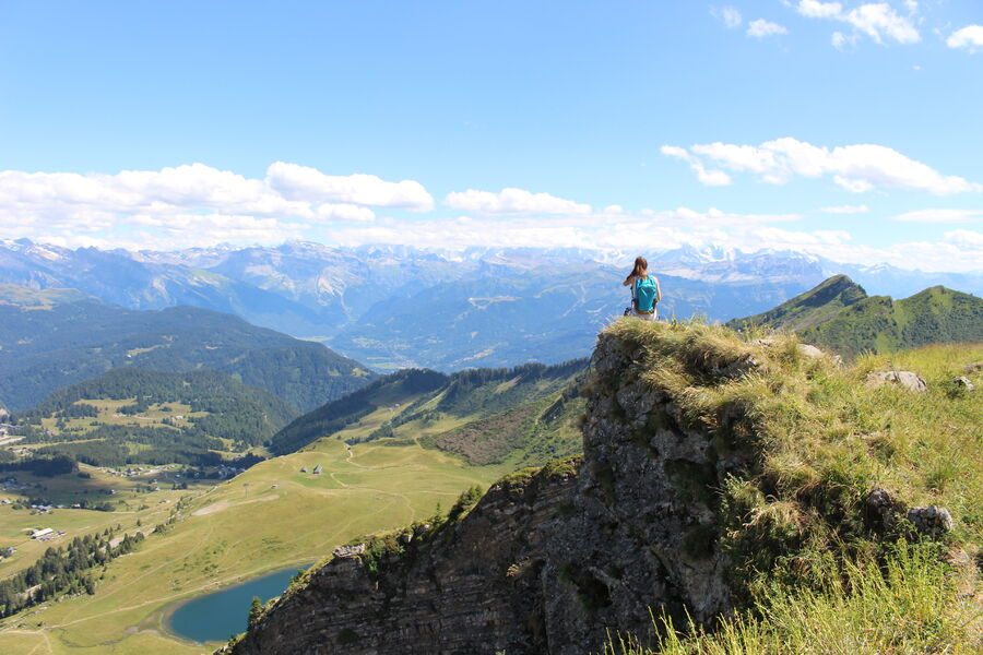
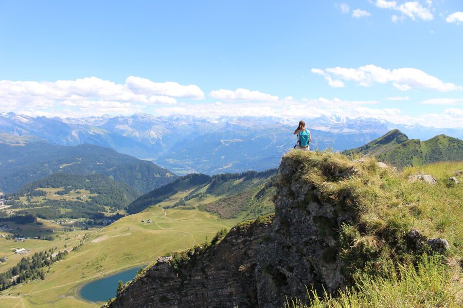
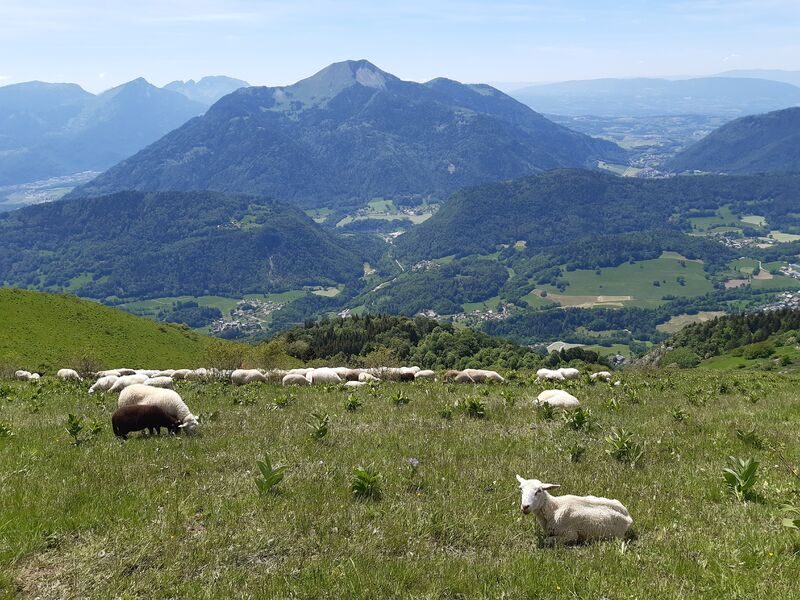
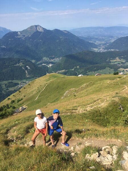


This route, which connects the Praz de Lys and Sommand plateaus via the ridges, offers magnificent views.
Description
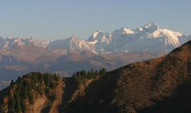
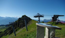
A mid-mountain trail offering splendid panoramic views of the Praz de Lys and Sommand plateaus and, beyond them, the Chablais, Aravis, and Mont Blanc mountain ranges. It was on the Pertuiset mountain pasture that the first paragliding takeoffs took place, starting in 1978…
Equipments
-
 Car park
-
Orientation board
-
Hiking itinerary
More information
Choose gear that's appropriate for your skill level and the weather. Stay on the marked trails.
-
Minimum age : 5 years
Services
-
Pets welcome
-
Unguided group tours
-
Coach access
-
Motorhomes allowed
-
Restaurant
-
Unguided individual tours
Environments
-
 Mountain location
Rates
Free access.
Itinerary
Opening period
From 15/05 to 15/11 daily.
Subject to favorable snow and weather conditions.
Additional opening
-
Subject to favorable weather
-
Subject to snow conditions
Location
From Mieussy, after the Sommand Tunnel, turn right and continue to Roche-Pallud, about 2 km further on.

Themes
-
Guidebook with maps/step-by-step : From the hamlet of Roche Pallud, follow the clearly marked trail across the mountain pasture toward Pertuiset.
1/ At the paragliding launch site, follow the vehicle-accessible path to the left, passing beneath three alpine chalets.
2/ From the Platière parking lot, head up to the ridge as far as Pointe Perret (elevation 1,941 m).
3/ From Pointe Perret, continue on to Pointe du Haut-Fleury.
4/ Return via the same route.
-
Distance 6km
-
-
-


- This field is for validation purposes and should be left unchanged.
Pour plus d'informations sur le traitement des données personnelles, cliquez ici.