Informations techniques
-
Distance 26.5km
-
Type d'itinéraire ALLER_RETOUR
-
Durée journalière 13h00
- Itinéraire balisé : BALISE
- Nature du terrain : Ground
- Nature du terrain : Grit
- Altitude max. : 690 m
The easy-going “Au Fil du Giffre” trail is the ideal exploration of the valley, through a superb natural environment...
Description
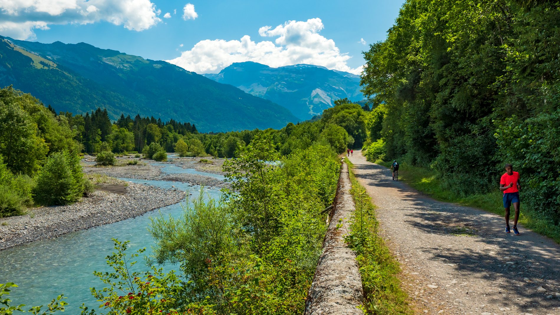
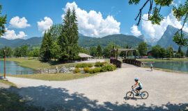
You will be taken by surprise on this revitalising walk alongside this river that flows down from the mountains, with waters that are sometimes calm and sometimes rough, depending on the weather and the seasons.
Away from the cars, by foot, bicycle or on horseback, with family or friends, everyone can explore the wonders of the Giffre Mountains at their own pace.
Animaux
Animaux acceptés : Oui
Animaux acceptés avec supplément : Non
Équipements
- Car park
Services
- Pets welcome
Tarifs
Free access.
Période d'ouverture
All year round.
Subject to favorable snow and weather conditions.
Ouverture complémentaire
- Subject to favorable weather
- Subject to snow conditions
Language spoken
-
French
Type de clientèle
- Walkers/hikers
- Level green – easy
Thèmes
-
Guidebook with maps/step-by-step : Taninges - La Rivière Enverse Sector:
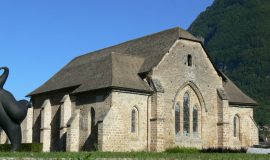
This walk along the river Giffre will take you on a discovery of the Chartreuse de Mélan and the contemporary artworks in the grounds.
This building was built in 1285 by Béatrice de Faucigny and its impressive size and perfectly preserved condition make it a spectacular construction. Today it is owned by the Haute-Savoie Department and in the 3-hectare grounds there are some contemporary monumental sculptures.
The trail then takes you along the river Giffre where you can enjoy the Art and Nature Trail through this natural, preserved area.
This trail is in constant evolution and was created by the association “Artistes en Herbe”, featuring some semi-permanent and temporary artworks.
The trail then continues alongside the Lac des Vernays and then leads to the hamlet “Les Bois”.
Morillon - Verchaix - Samoëns sector:
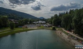
After a long section through a wooded area on this “Au Fil du Giffre” trail, you'll arrive in the ultimate place for leisure activities: Lac Bleu in Morillon and then 7 kilometres further on, Les Lacs aux Dames, 2 places with a wide range of fun activities on offer!
These places are ideal for both relaxing and exciting activities. On the shores of Lac Bleu, whose name comes from the magical shades of blue that contrast with the green of the surrounding peaks, you’ll be able to swim, go treetop climbing, horseback riding, ride along a pumptrack or play a game of crazy golf.
A wide range of activities to do with friends or family.
Les Lacs aux Dames in Samoens is a remarkable place where you can walk, go fishing, explore, run or take part in the activities there such as treetop climbing, tennis, disc golf, swimming, paragliding and so much more.
After crossing over the R’biolle walkway, you’ll go under the Grand Massif Express cable car that can be used in winter to go to the ski area bearing the same name.
After Clévieux walkway, you have 2 possibilities: either you carry on along the Giffre (GR5) through the woods, or you can walk along an easy path that runs alongside the agricultural plain, on your way you’ll have a beautiful panoramic view of the Criou and Buet. Both trails lead to the Pont du Perret.
Sixt Fer à Cheval sector:
If you’re coming by bicycle, we recommend using a mountain bike here. After an uphill section through the hamlet of Perret, you’ll reach the Tines gorges where you can stop off to watch rafting or other white-water rapids sports.
If you so wish, you can cross over the Tines walkway at the car park to go to Rochers des Tines, a climbing hotspot of the Giffre Mountains suitable for all levels of ability.
If you then go back to the path that leads to the Tines viewpoint, you’ll be able to see the ancient railway tracks that once connected Sixt-Fer-à-Cheval and Annemasse. The closed tunnel you can see is now used as a maturing cellar for the neighbouring farm.
Then you’ll cross through the magnificent village of Sixt-Fer-à-Cheval, and then follow signs for the hamlet of Vivier, to reach the Cirque du Fer à Cheval.
This major site of the Haute Savoie takes its name (Fer-à-chevel = horseshoe) from the shape of the cliffs that will make you feel as if you are in an open-air amphitheatre. This is the biggest Alpine mountain cirque.
The impressive vertical cliffs have created many waterfalls, the number of which varies depending on the season.
The site is currently applying to be classified as a Grand Site de France.
Vous aimerez aussi
Pour plus d'informations sur le traitement des données personnelles, cliquez ici.
- This field is for validation purposes and should be left unchanged.


