Giffre Cycling Loop
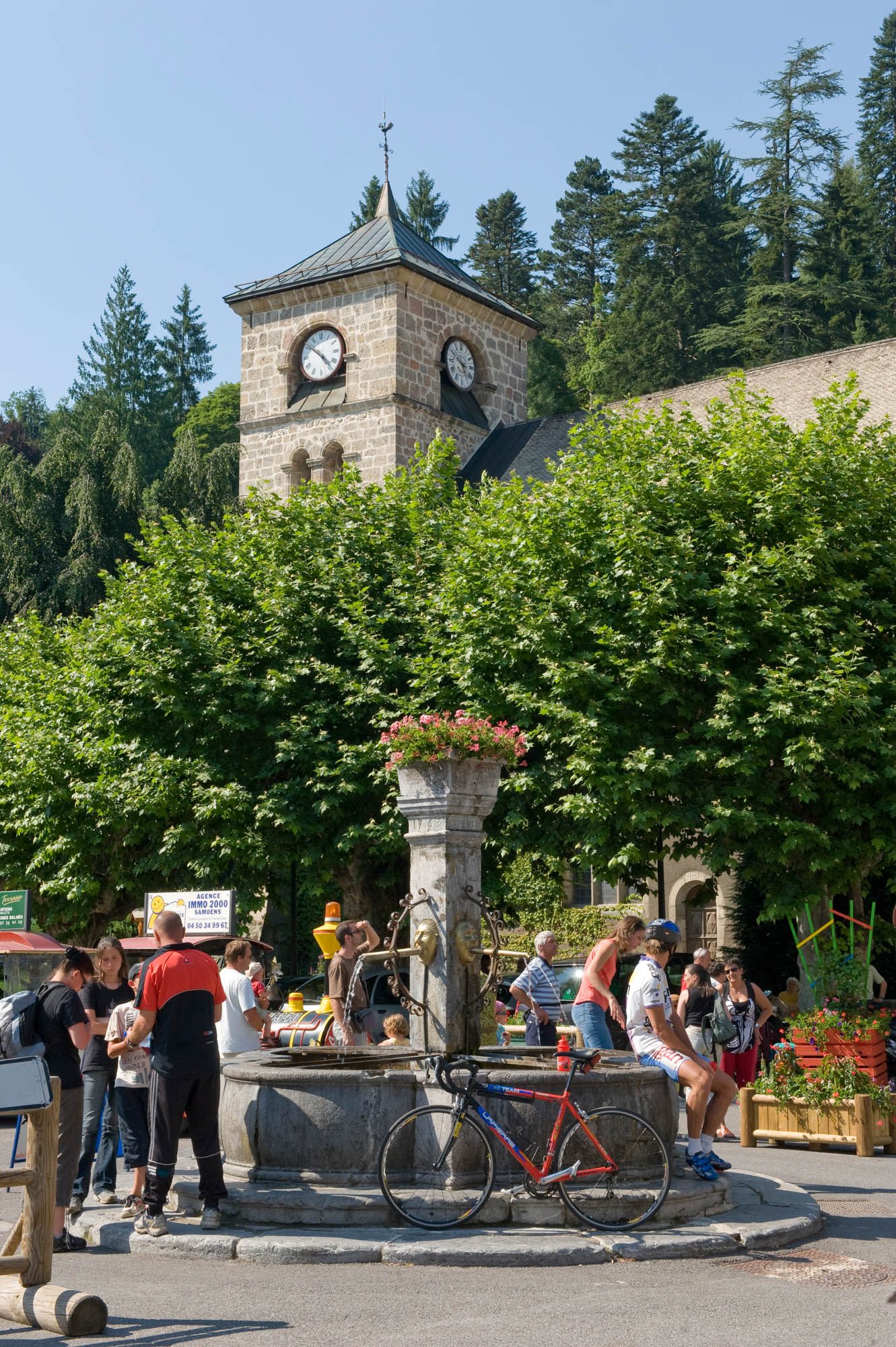
A beautiful tour that can be enjoyed by all. A circuit of discovery of a beautiful of the Pre-Alps valley which we reach by the small collar of Châtillon.
Description
Direction of travel: clockwise
Landmarks and connections: Châtillon-sur-Cluses; Taninges (separation with Circuit de la Ramaz n°38 and Circuit de Joux-Plane n°36); Samoëns (separation with Fer-à-Cheval round trip n°40)
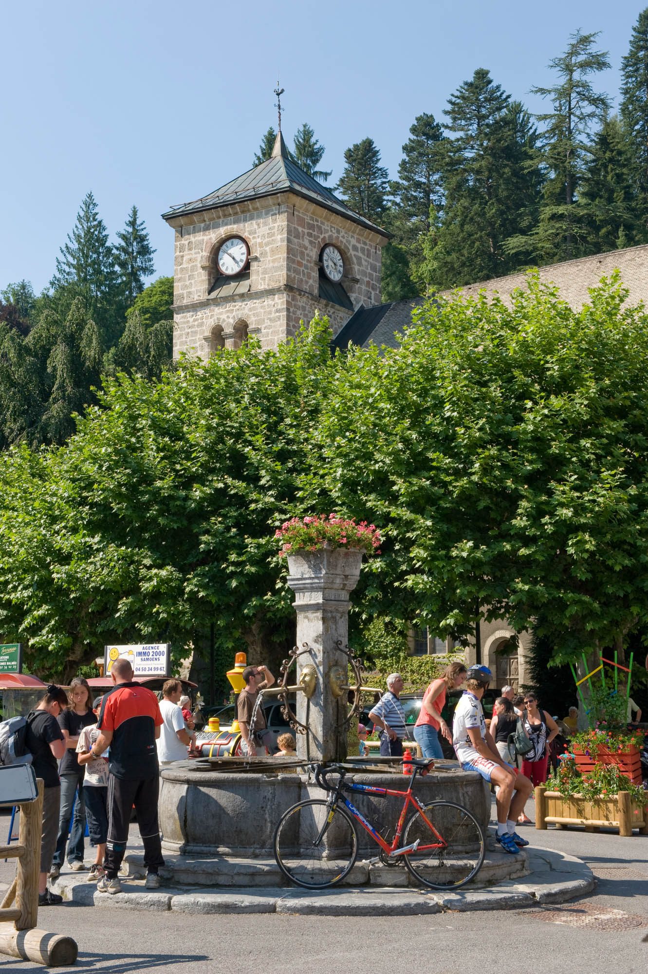
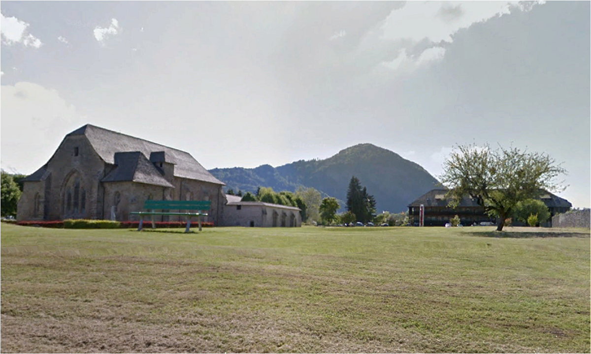
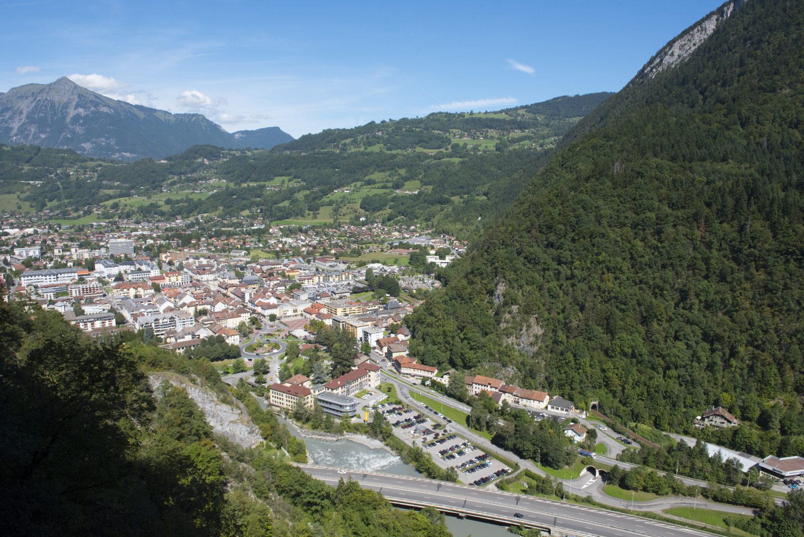
Description:The Giffre is the main tributary of the Are and one of France's most abundant rivers in terms of size. This is due to the large quantities of rain and snow that fall on the pre-Alpine massif it drains. It's in May, June and July, during the peak snowmelt period, that you'll see the most water in its bed, apart from the flash floods of thunderstorms. To get there, you must first cross the Col de Châtillon. After the descent, you'll cross the river and reach Taninges, whose bell tower houses the largest carillon in Haute-Savoie. You'll hear it if you pass by on Thursday, market day. Also worth seeing are the contemporary art exhibitions held in Taninges at the Chartreuse de Mélan. The route continues on the right bank as far as Samoëns, where you change banks. After returning to the "reverse", you'll cross the Col de Châtillon again, albeit with a lower gradient.
Équipements
-
Cycle tourism route
Tarifs
Free access.
Itinéraire
Période d'ouverture
From 15/04 to 31/10.
Documents
Pour plus d'informations sur le traitement des données personnelles, cliquez ici.
- This field is for validation purposes and should be left unchanged.


