



Carrier Certified Surveyors
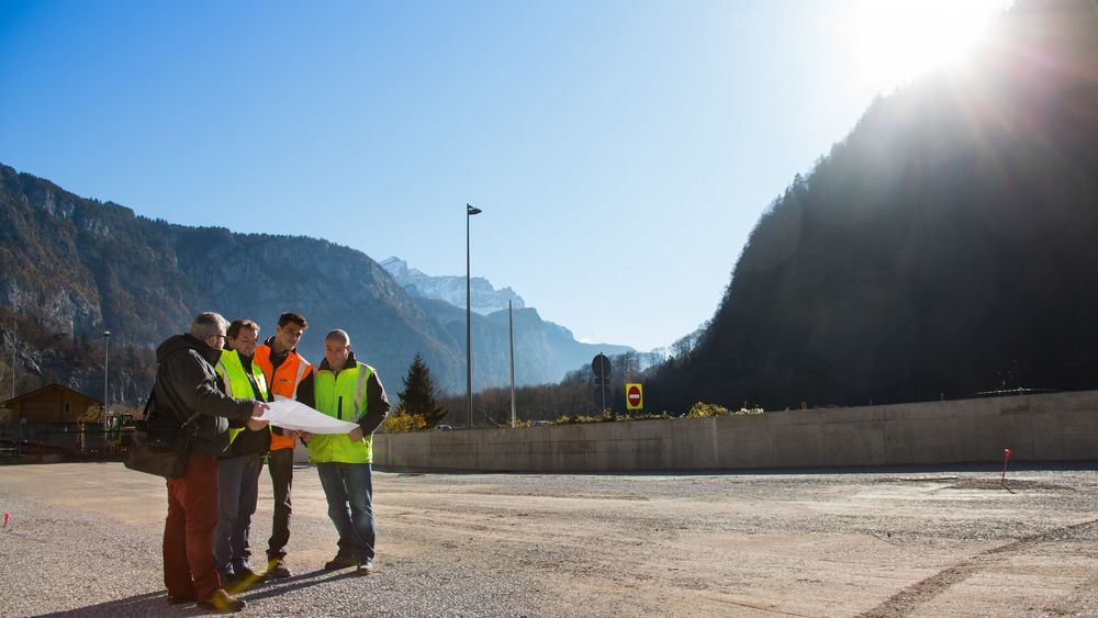
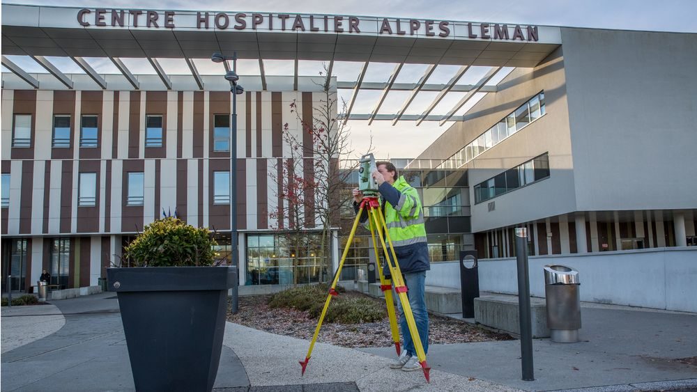
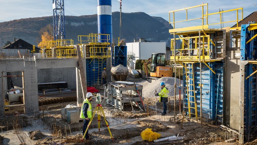
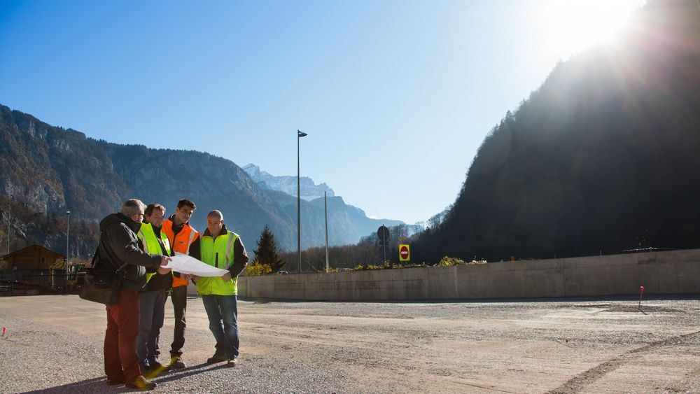
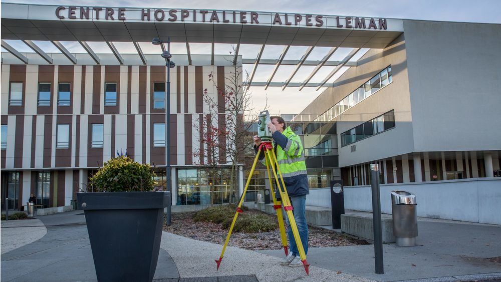
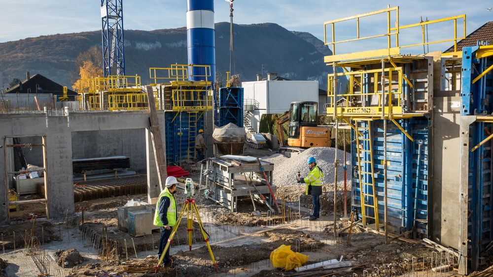
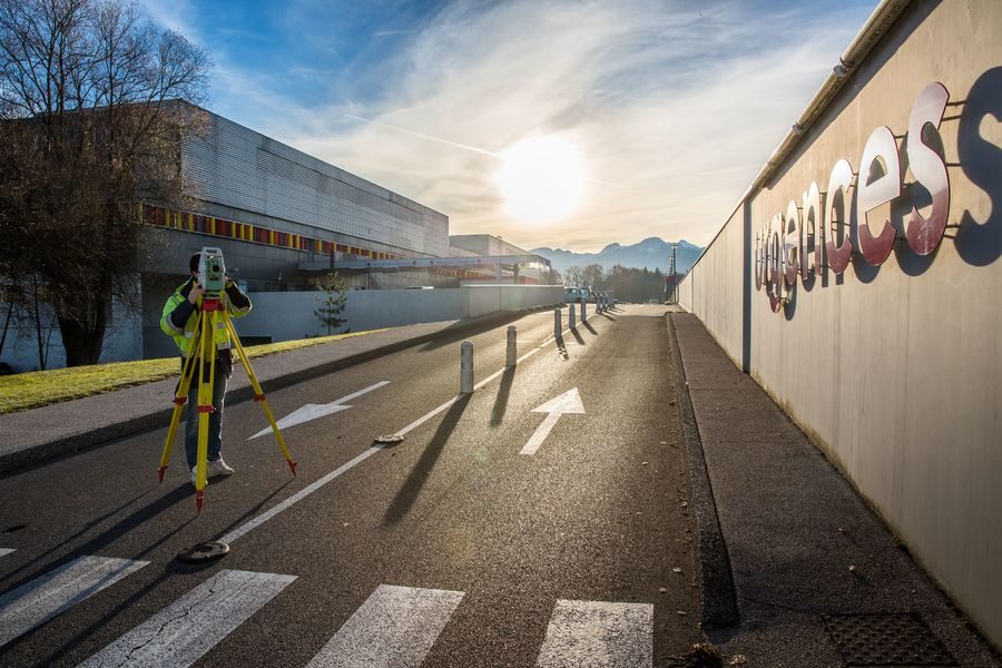
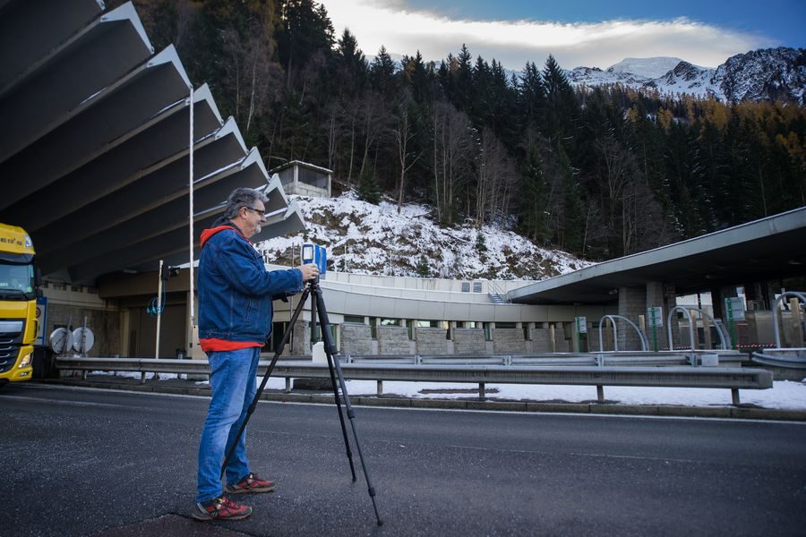
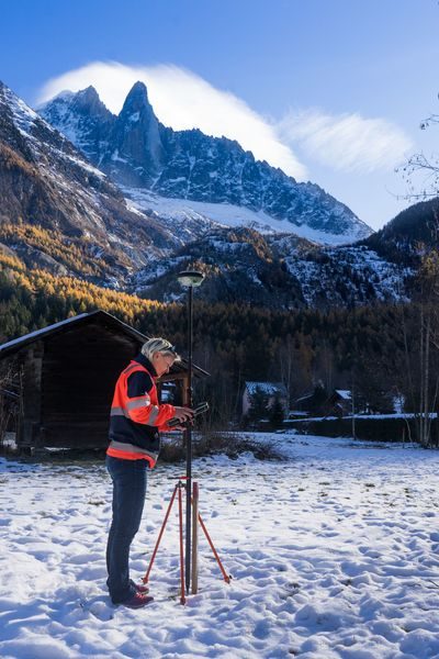


Based in Haute-Savoie (74) since 1963, CARRIER Géomètres Experts now operates out of seven offices: La Roche-sur-Foron, Annecy, Vétraz Monthoux, Thyez, Thônes, Taninges, and Bonneville
Description
We are a team of about 30 people, including 3 licensed surveyors.
Our team is structured to handle the diversity of your projects thanks to our employees’ specialization in specific areas (urban planning and land management, condominium management, and project management). We train our team to handle the complexity of your projects.
Our Services & Expertise:
- Land Management - Boundary Demarcation:
The demarcation and division of properties are the exclusive responsibility of your licensed land surveyor. Boundary demarcation is the process of permanently establishing the boundary between two adjacent parcels of land. Markers are installed (boundary markers, stakes, paint marks) and are depicted and described in a boundary demarcation report. In the event of a sale, gift, or exchange of part of your land, we prepare division plans and easements and handle the necessary formalities with the land registry office.
- Land Development - Urban Planning:
We assist you with the development of your land, property, or public space for which you are responsible. These projects require prior urban planning authorization, which can range from a simple subdivision declaration to a development permit requiring the design and construction of utility connections.
For public space development projects, we conduct the necessary studies to ensure efficient and effective project management.
- Architectural Surveys - 3D Models:
To help you carry out your renovation project, we create interior plans, facade drawings, and cross-sections of the building and its structural framework.
Our 3D scanning tools allow us to provide you with highly accurate data and to produce high-quality surveys, plans, and models.
These documents will enable your architect to carry out your project under the best conditions and within the shortest possible timeframe.
- Project Management - Road and Utility Engineering:
We support you in the design of your development projects, including the construction of roads and utilities, and consulting with contractors specializing in earthwork, dry and wet utilities, and asphalt paving. We manage the construction site on your behalf. We will assist you in awarding construction contracts as well as during final inspections.
- Conversion to Condominium Ownership - Division into Units:
For the sale or donation of buildings, we prepare interior and exterior surveys of your property, floor-by-floor lot designation plans, and plans designating outdoor common areas. We calculate the general ownership shares and service charge shares. We draft the descriptive statement of division and the condominium bylaws.
We assist you in structuring complex projects involving multiple public and private entities. We define the three-dimensional volumes of your property and any associated easements.
- Topography:
As the foundation for all development work, the topographic map is a three-dimensional representation of your land. It shows all existing features as well as various underground and overhead utility lines. Depending on its intended use and the level of detail required, it can be produced at various scales, ranging from 1/100th to 1/500th. We also perform site layout surveys and structural stability assessments.
- GIS Integration:
We integrate and organize geolocated data for local governments within their geographic information systems, enabling online access to local urban planning maps and maps of their entire utility networks.
- Real Estate Inspections:
Lead, asbestos, electrical systems, energy efficiency, gas, and Carrez Act certificates are mandatory inspections required for the sale or rental of your buildings. We also perform comprehensive technical inspections (DTG) for your applications to convert buildings over 10 years old into condominiums.
Equipments
-
 Private parking
Environments
-
 Village centre
Payment methods
-
 Check
-
 Cash
-
 Credit transfer
Opening period
From 01/01 to 31/12 on Monday, Tuesday, Wednesday and Thursday between 8 am and 12 pm and between 1.30 pm and 5.30 pm. On Friday between 8 am and 12 pm and between 1.30 pm and 4.30 pm.
Language spoken
-
 English
-
 French
Location
- This field is for validation purposes and should be left unchanged.
Pour plus d'informations sur le traitement des données personnelles, cliquez ici.