


Haute Pointe Tower
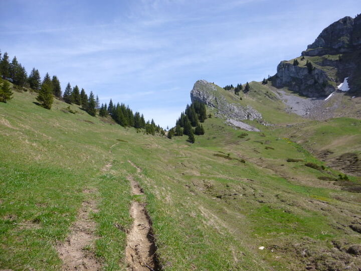


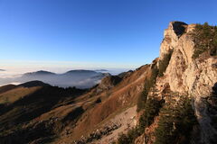
A trail that crosses several mountain passes around Haute Pointe, reaching its highest point at 1,958 m on the Sommand Plateau, winding through wilderness areas and alpine pastures.
Description
This route offers a good chance to spot chamois and marmots along the way, and to encounter cows and sheep on the mountain pastures in the summer!
Please contact the Tourist Office to find out whether the trail is open or closed during the summer season.
Equipments
-
 Car park
-
Trail route
More information
Choose gear that's appropriate for your skill level and the weather. Stay on the marked trails.
Environments
-
 Mountain location
-
Presence of livestock and guard dogs
Rates
Free access.
Itinerary
Opening period
From 15/05 to 15/11 daily.
Subject to favorable snow and weather conditions.
Additional opening
-
Subject to favorable weather
-
Subject to snow conditions
Language spoken
-
 French

Themes
-
Guidebook with maps/step-by-step : From the lake, follow the main road to the left toward the Col de la Ramaz; then, when you reach the restaurant Le Matafan, take the small road leading uphill to the left (La Mary hamlet), which turns into a trail after the
last chalet. Follow the trail markers to the Col de Cordon.
1/ Cross the pass via one of the two trails leading to Les Charmettes d’en Bas. Turn right onto a wide path, then at the last chalet, continue on the small grassy trail and follow the trail markers toward the Col de Chavanais. Caution! Very steep slope with a significant elevation gain from km 3.5 to the Col de Chavanais.
2/ At the pass, continue to the right on a narrow trail along the north face of Haute Pointe toward the Col de Chavan.
3/ From the pass, you can make a round trip to the summit of Haute Pointe (100 m elevation gain, shown as a dotted line on the map). Then descend toward the Sommand plateau by taking the small trail toward the “Le Coin” farm. Continue along a wide path until you reach the Col de la Ramaz road.
4/ Cross the Col de la Ramaz road (RD 308) and head to the Sommand parking lot via the small road to the left of the Ramaz chalets.
-
Distance 8.2km
-
-
-


- This field is for validation purposes and should be left unchanged.
Pour plus d'informations sur le traitement des données personnelles, cliquez ici.